

Geiger-Mode LIDAR
(Flash LIDAR, GmLIDAR, GML)
GmLIDAR is a scanning range camera system. Using airborne GML-LIDAR technique, large areas can be surveyed quickly and economically from high altitudes, since a divergent laser pulse illuminates a relatively large spot on the ground. Thus, particularly fast overflights from high altitudes are possible. Small energy pulses are emitted at a high repetition rate. It is not the percentage of photons returned from a single pulse that is measured, but the percentage of pulses that causes a reflection to be registered. In Geiger-mode LIDAR the relatively large field of view on the ground is spatially resolved by the detector matrix, with all detector cells illuminated simultaneously.
The Geiger-mode LIDAR technique is characterized by a complex sensor system and a lower laser energy requirement. Here, the reflected signal is detected by an array of Geiger-mode avalanche photodiodes (GmAPD). Here, all avalanche photodiodes are operated via the application of a bias voltage so sensitively that even a single or very few photons reflected from the illuminated area lead to a sudden increase in the detector's output voltage. This so-called "Geiger-mode" gave this LIDAR technique its name. Each individual APD of the array works practically as a binary detector, which provides a stop pulse for the time-of-flight measurement by means of a TDC when photons arrive.
The GmAPD array is mounted on a scanner that rotates at a specific angle. This creates a cone-shaped field of view for accurate ground acquisition where each square meter of terrain can be scanned thousands of times in a single pass. Geiger-mode LIDAR provides only range information, not radiometric data, and is less accurate compared to full-waveform LIDAR; in addition, good weather conditions, as clear as possible, are required for aerial acquisition. The technique has advantages in situations where rapid terrain acquisition from high altitude is required.
This point cloud measured using airborne Geiger-Mode LIDAR shows the city of Chicago, Illinois. Photographer: Jason Stoker, Image rights: public domain, taken from https://www.usgs.gov/media/images/geiger-mode-lidar-over-chicago-il
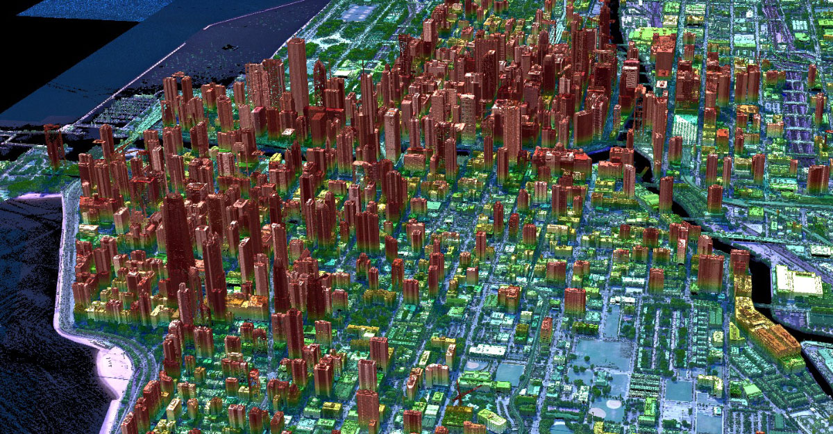
This point cloud measured using airborne Geiger-Mode LIDAR shows the city of Chicago, Illinois. Photographer: Jason Stoker, Image rights: public domain, picture has been cropped and taken from the USGS website.